
Fail:GR Thira.PNG
Tiada leraian lebih besar.
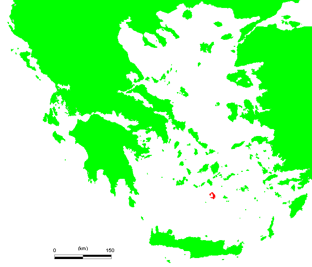
GR_Thira.PNG (626 × 536 piksel, saiz fail: 21 KB, jenis MIME: image/png)

|
This locator map image could be re-created using vector graphics as an SVG file. This has several advantages; see Commons:Media for cleanup for more information. If an SVG form of this image is available, please upload it and afterwards replace this template with
{{vector version available|new image name}}.
It is recommended to name the SVG file “GR Thira.svg”—then the template Vector version available (or Vva) does not need the new image name parameter. |
| Keterangan | GR Thira.PNG (Greek island) | ||||
| Sumber | own work based on PD map | ||||
| Pengarang | edited by M.Minderhoud | ||||
| Kebenaran (Penggunaan semula fail ini) |
|
Sejarah fail
Klik pada tarikh/waktu untuk melihat rupa fail tersebut pada waktu itu.
| Tarikh/Waktu | Gambar kenit | Ukuran | Pengguna | Komen | |
|---|---|---|---|---|---|
| semasa | 19:30, 24 Jun 2006 | | 626 × 536 (21 KB) | Michiel1972 | {{Information |Description= {{subst:PAGENAME}} (Greek island) |Source= own work based on PD map |Date= |Author= edited by M.Minderhoud |Permission= {{PD-Demis}} |other_versions= }} [[category:Locator maps of Greece islands |
Penggunaan fail
Laman berikut menggunakan fail ini:
Penggunaan fail sejagat
Fail ini digunakan oleh wiki-wiki lain yang berikut:
- Penggunaan di da.wikipedia.org
- Penggunaan di el.wikipedia.org
- Penggunaan di fi.wikipedia.org
- Penggunaan di fr.wiktionary.org
- Penggunaan di hyw.wikipedia.org
- Penggunaan di id.wikipedia.org
- Penggunaan di ja.wikipedia.org
- Penggunaan di ko.wikipedia.org
- Penggunaan di mk.wikipedia.org
- Penggunaan di sh.wikipedia.org
- Penggunaan di sk.wikipedia.org
- Penggunaan di sr.wikipedia.org
- Penggunaan di sv.wikipedia.org