Wilayah M'Sila
Wilayah M'Sila | |
|---|---|
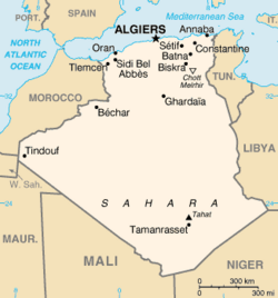
 Map of Algeria highlighting Adrar | |
| Negara | |
| Zon waktu | UTC+01 (CET) |
| Kod ISO 3166 | DZ-01 |
Wilayah M'Sila merupakan sebuah wilayah yang terletak di negara Algeria.
Pembahagian pentadbiran[sunting | sunting sumber]
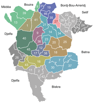
Daerah :
Komun[sunting | sunting sumber]
|
1. Aïn El Hadjel |
13. Bouti Sayeh |
25. M'Cif |
37. Ouled Slimane |
 |
Rujukan[sunting | sunting sumber]
- ^ Office National des Statistiques, Recensement General de la Population et de l’Habitat 2008 Preliminary results of the 2008 population census. Accessed on 2008-07-02.
Pautan luar[sunting | sunting sumber]
- Encyclopaedia of the Orient - a brief description of M'Sila, focusing on its capital
- BBC - a news article about some recent violence in M'Sila
- Archnet Diarkibkan 2006-02-15 di Wayback Machine - focuses on the Maader village project
- Wetlands International Diarkibkan 2005-10-28 di Wayback Machine - an in-depth description of M'Sila's wetland

